TERRITORY
In order to determine the boundaries of the CORPINAT guarantee brand a working method has been set up based on several factors and (territorial elements) from which the necessary relations have been established which enables the determination of how the area object of the study must be defined.

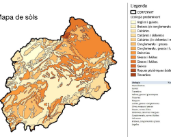
The parameters, factors and elements on which the delimitation work is based are the following: Strictly physical territorial and environmental variables (topography, land elevations, slopes of the hills – orientation, geomorphology, lithology, soil or climate), factors related to human presence on the territory (historical, cultural, social, economic, access, etc. overall territory settlement and urbanization of said territory) and finally aspects which are purely of a oenological, viticulture, wine making or agricultural nature (varieties, adaptation to the environment, relationship with the soil, etc.)
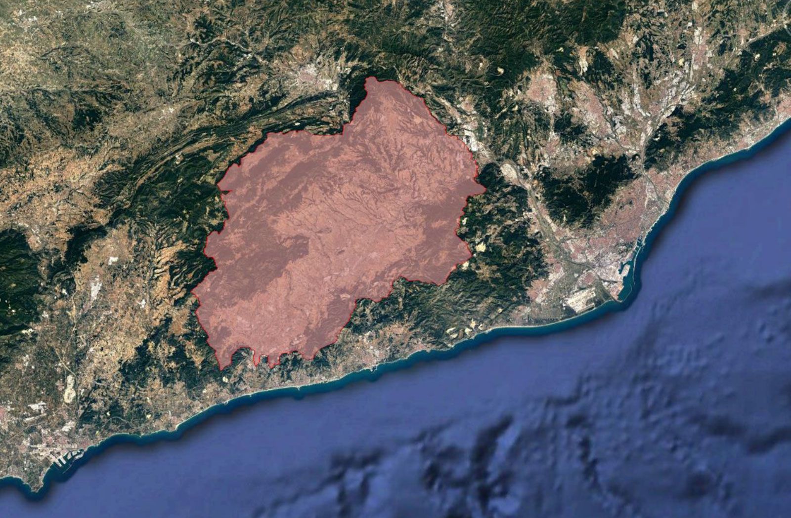
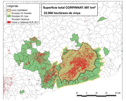
The total territory object of the study consists of an area of 997 square kilometres.
The guarantee brand stems from an area considered an historic centre in the production of wine in the Penedès, therefore it was necessary to define its boundaries based on the information worked on, for that reason the territorial area has been thoroughly covered municipality by municipality defining the areas in which certain factors predominate over others, meaning that in no case is there a sole criteria prevailing over others at the time of delimiting the area. It is important to point out that in order to be able to define an administratively viable area; the delimitation follows at all times municipal boundaries or land registers when it was necessary to obtain this level of detail adapted to the parameters studied.
Finally the CORPINAT guarantee brand has turned out to be like a large compact area of a certain rectangular shape, defined by the Penedès pre-coastal depression and adjacent hills.
In the west delimitation (municipalities of Aiguamúrcia and el Montmell) the predominant criteria has been of a topographical and territory settlement criteria, adjusting to the limit the detail of cadastral parcel delimitation. The other municipalities (la Bisbal del Penedès and Albinyana) the municipal boundaries have also been adjusted, as these are defined by topographical criterion. Lastly in the case of el Vendrell the boundaries have been established by following the natural forming of the river beds.
In the south delimitation the municipal boundaries (Municipalities of Bellvei, Castellet I la Gornal, Olèrdola, Avinyonet, Olesa de Bonesvalls, Subirats and Gelida) are the ones to define the area as these are adjusted to a topography which clearly distinguishes the Penedès land from the land of the Garraf , even though in no every case the water flow that corresponds to them in these cases have been subject to historical links of the vineyards to the wine growing and winemaking industry in El Pla del Penedès and other in El Garraf.
The total CORPINAT grape growing surface area according data declared to DUN in 2017 is 22,966.12 hectares.
In the Eastern sector, the boundaries mainly correspond to the presence of human industrial activity as against agriculture covering the territory in a way that those densely urbanised or industrialised areas remain out of an agricultural area which precisely wants to promote this rural value (municipalities of Castellví de Rosanes, Sant Esteve Sesrovires and Hostalet de Pierola) seeking topographical elements which aid to better define the area.

Finally the North sector (municipalities of Piera, Vallbona d’Anoia, Cabrera d’Anoia, Mediona, la Llacuna and Pontons) is an area delimitated by a series of geographical features of a higher or lower importance which clearly distinguish a water flow territory to the Penedès and another to the Tous, del Carme and Gaia basins. The delimitation follows in most part the municipal boundary adapted to the topography, except in the case of la Llacuna where it was necessary to define it as cadastral parcel adjusted to the topography. With this delimitation it was intended to incorporate the higher ground Parellada vineyards on tertiary soils, which are practically inexistent in el Pla del Penedès.
The total territory object of the study consists of an area of 997 square kilometres, including the entire or a part of the following regions: Alt Penedès, Alt Camp, Baix Penedès, Garraf, Baix Llobregat and Anoia.


Municipalities that represent CORPINAT
Arboç, l'
Avinyonet del Penedès
Banyeres del Penedès
Bellvei
Bisbal del Penedès, la
Cabanyes, les
Cabrera d'Anoia
Castellet i la Gornal
Castellví de la Marca
Font-rubí
Gelida
Granada, la
Llorenç del Penedès
Masquefa
Mediona
Olèrdola
Olesa de Bonesvalls
Pacs del Penedès
Piera
Pla del Penedès, el
Pontons
Puigdàlber
Sant Cugat Sesgarrigues
Sant Jaume dels Domenys
Sant Llorenç d'Hortons
Sant Martí Sarroca
Sant Pere de Riudebitlles
Sant Quintí de Mediona
Sant Sadurní d'Anoia
Santa Fe del Penedès
Santa Margarida i els Monjos
Santa Oliva
Subirats
Torrelavit
Torrelles de Foix
Vallbona d'Anoia
Vilafranca del Penedès
Vilobí del Penedès
Castellví de Rosanes
el Montmell
el Vendrell
els Hostalets de Pierola
la Llacuna
Sant Esteve Sesrovires
DETAIL OF PLOTS


